How mountain belts bend: An example from Slovakia
Understanding the origin of curved mountain belts has been a fundamental problem in geology. As geologists, we are focused on understanding this process as it helps us understand our primary theory about how the Earth works: plate tectonics. When pieces of crust collide and form mountains, the trend is usually linear. Why we wonder, are some curved? Many geological studies have aimed to decipher the mechanics driving their formation and outline a range of possible factors that control their shape.
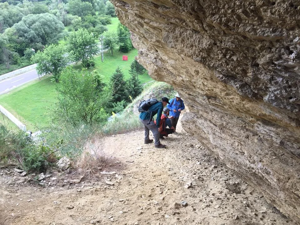
We work in the most well-exposed section of the Carpathian Arc, the Western and High Tatra Mountains. The geometrical trend of the Carpathian Mountains changes ~22° from Vienna, Austria to Bucharest, Romania. Most of these mountains are buried underground, with the exception of the Western and High Tatra Mountains. These are comparatively little-studied collisional ranges in northern Slovakia that have a significant potential to evaluate possible controls on mountain belt bending, including the role of rock type and past deformation events, may have had on present-day geometry.
The High and Western Tatra Mountains are the most prominent, highest, and best-exposed range in the entire Western Carpathian range, and are located along the Slovakia-Poland boundary. Despite a significant amount of attention paid to other curved mountain ranges across the globe, these mountains have been the focus of a limited number of studies, and its location bordering the Slovak and Polish sides has led to a divergence in data collection.
How do we approach the study of this mountain range? We visit the area, collect rocks, and generate age data from its exposed fault systems to understand its uplift history. Our longer-term goal is to understand the role that a past deformation history may have on the curvature and incorporate quantitative age data regarding the exhumation of the range into models for its development.
This project is currently supported by the National Science Foundation: International Division.
Collaborators
Igor Broska, Earth Science Institute, Slovak Academy of Sciences
Milan Kohut, Earth Science Institute, Slovak Academy of Sciences
Brent Elliott, Bureau of Economic Geology, UT Austin
Thomas Etzel, Dept. Geological Sciences, UT Austin
Daniel Stöckli, The University of Texas at Austin
Rich Kyle, Dept. Geological Sciences, UT Austin
Daniel S. Campos, The University of Texas at Austin
Gabriel Villaseñor, Georgia Institute of Technology
Recorded Lectures regarding this work:
Peer-reviewed publications regarding this work: